
 Алгебра
 Английский
 Биология
 География
 Геометрия
 История
 Русский
 Обществознание
 Физика
 Химия
Химия Информатика
 Литература
 Математика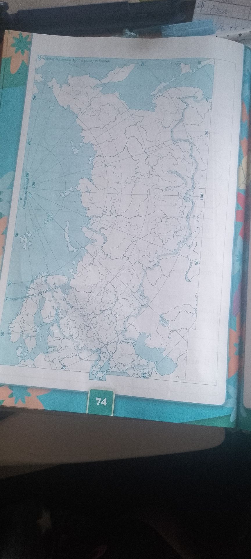
Ответ:
Analysis of the Map:
The provided image contains a geographical map displaying lines of latitude and longitude. Key labels include:
- 'Северный полярный круг' (Arctic Circle)
- 'Северный полюс' (North Pole)
- Latitude markings: 0°, 60°, 70°, 80°
- Longitude markings: 0°, 60°, 100°, 120°, 180°
The map appears to cover the Northern Hemisphere, with a significant portion of Eurasia, likely Russia, depicted. The number '74' at the bottom is probably a page or exercise identifier.
Conclusion: The image is a geographical map with coordinate markings and labels indicating it pertains to the Arctic region and surrounding landmasses.
