
 Алгебра
 Английский
 Биология
 География
 Геометрия
 История
 Русский
 Обществознание
 Физика
 Химия
Химия Информатика
 Литература
 Математика
Вопрос:
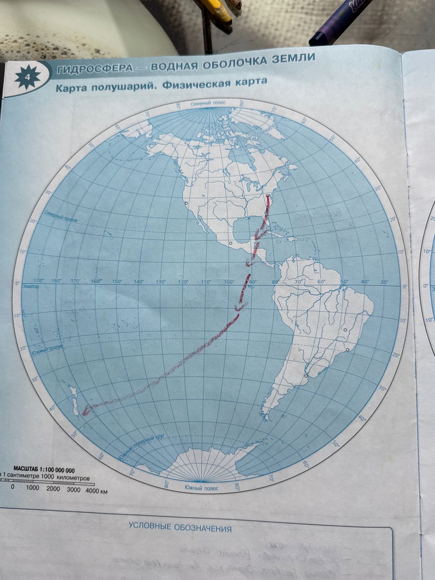
Describe the red line drawn across the map.
Ответ:
Red Line Description:
- The red line appears to trace a path across North and South America, extending into the Atlantic Ocean.
- It starts in the northern part of North America, goes down through Central America, crosses into South America, and continues south towards Antarctica.
- It seems to represent a route or a significant geographical feature. Without further context or labels, its exact meaning cannot be determined from the map alone.
Answer: The red line traces a path originating in northern North America, traversing down through Central and South America, and extending towards Antarctica. Its specific meaning or representation is not indicated by labels on the map.
Похожие
